imported document on the site 2007-10-08 and amended for the last time 2010-08-24
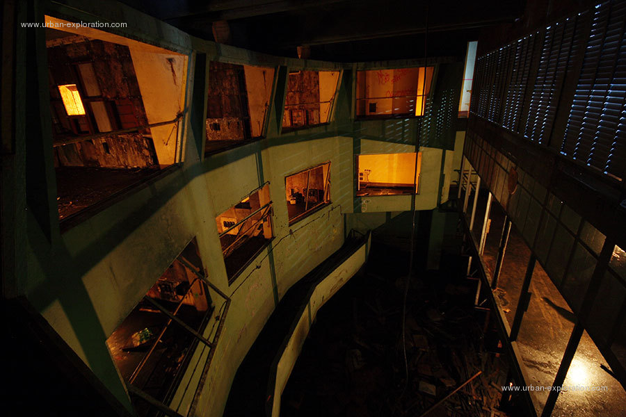
Control Room of the NATO radar base, the fort of Mount Salbert.
Fort Lefebvre culminates at the top of Mount Salbert 650m altitude. It said a strong "Sere River". It was built from 1874 to 1877. On May 12, 1955, NATO reuses the fort to house a communications center and a radar base. The book is officially delivered to the Air Force ole March 26, 1958. The book "G" Air Defense Planning (DAT) has 7 radio antennas. The old fort is used as a barracks for soldiers.
The radar base is not exactly the strong, but under the fort. Access from the fort is a long staircase of 322 stairs that descends into a concrete wall strongly.
The site is no longer running quickly but it remains occupied by the army until 1972. The mayor of Belfort is the current owner. It secures the site is now a promenade.
comment from : ComputerHotline - posted 2010-10-25 20:50:23
Il est vrai que cet endroit est magnifique.